Maps and GIS
College Station's maps and data files are a free resource for you to use and enjoy. Our maps are updated by us, and YOU! If you find an error or have questions/comments, contact us here.
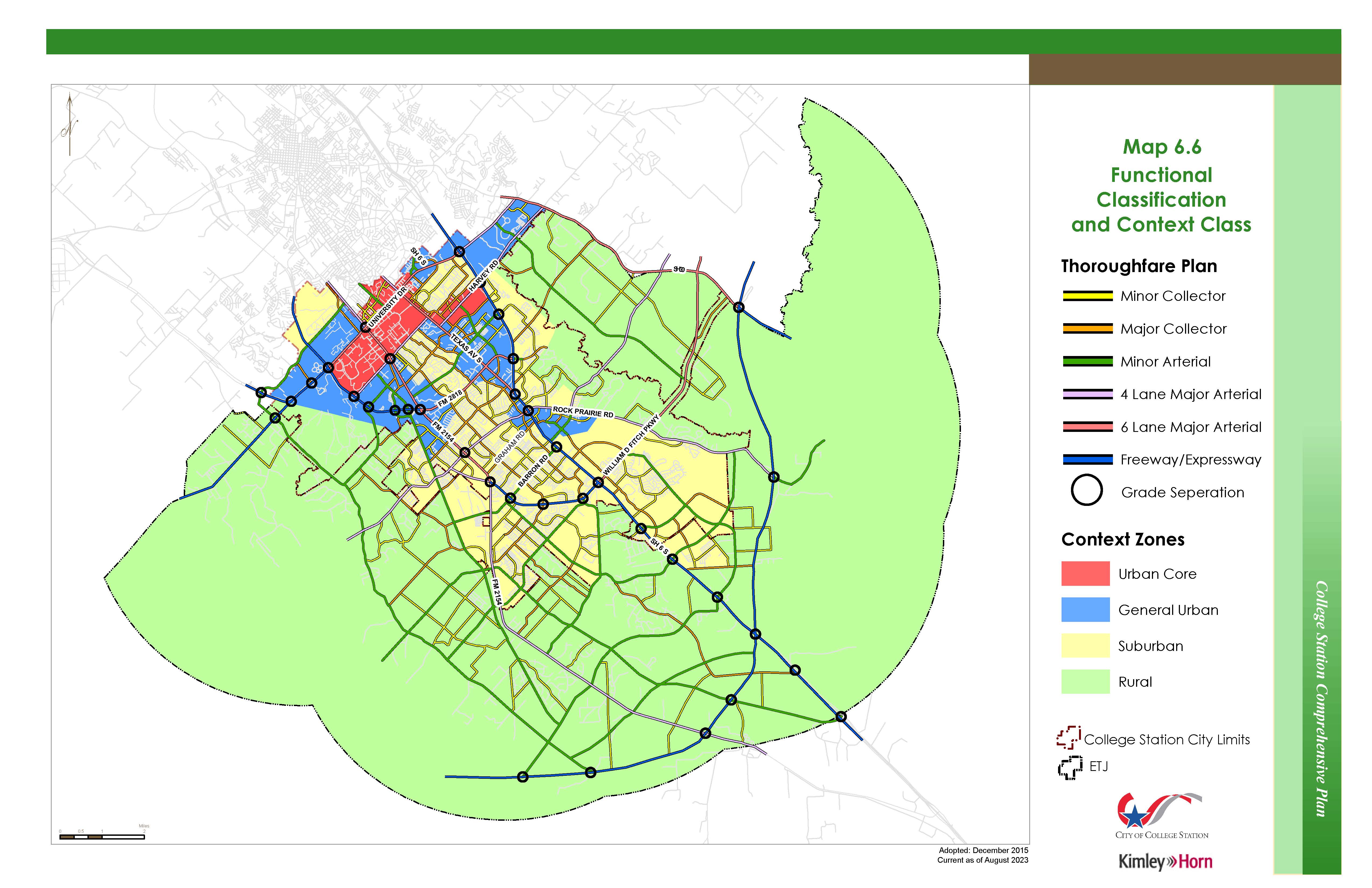
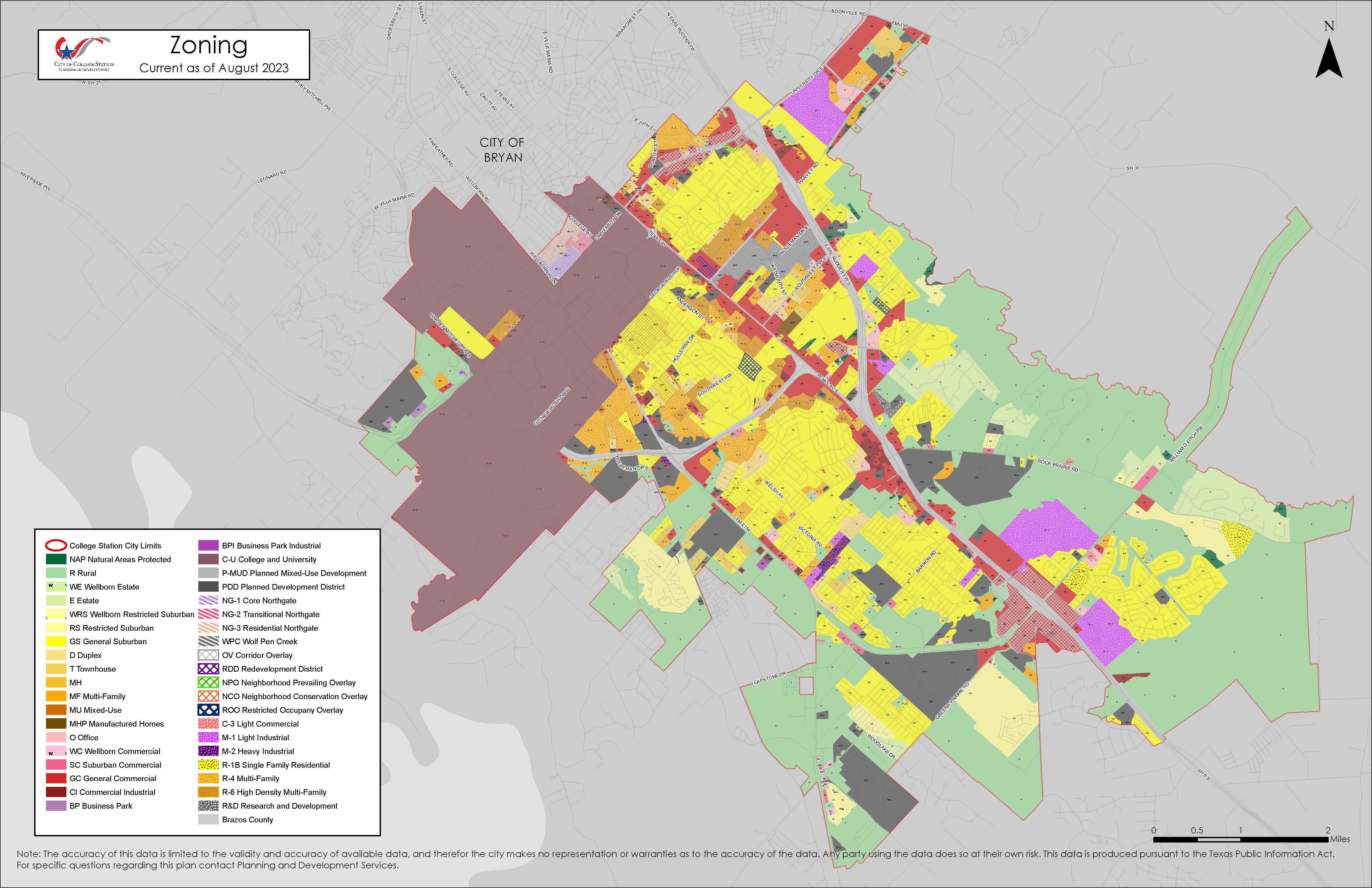
Interactive mapping services are available and reflect the most recent data updates. The Planning and Development Map shows platting, subdivisions, zoning, and property information. Tip: Click on the Layers icon in the upper right corner to select various GIS layers in the map.
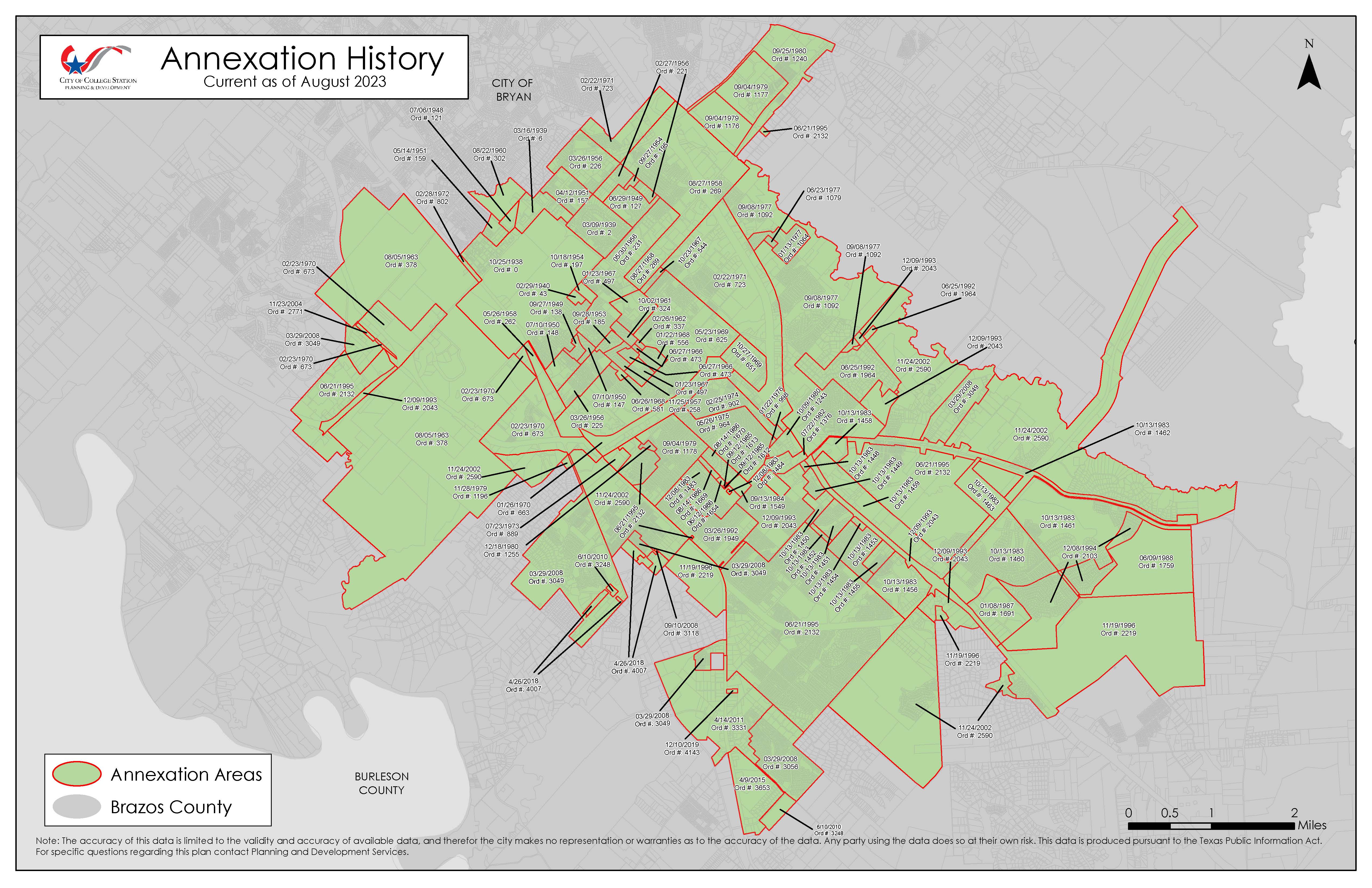
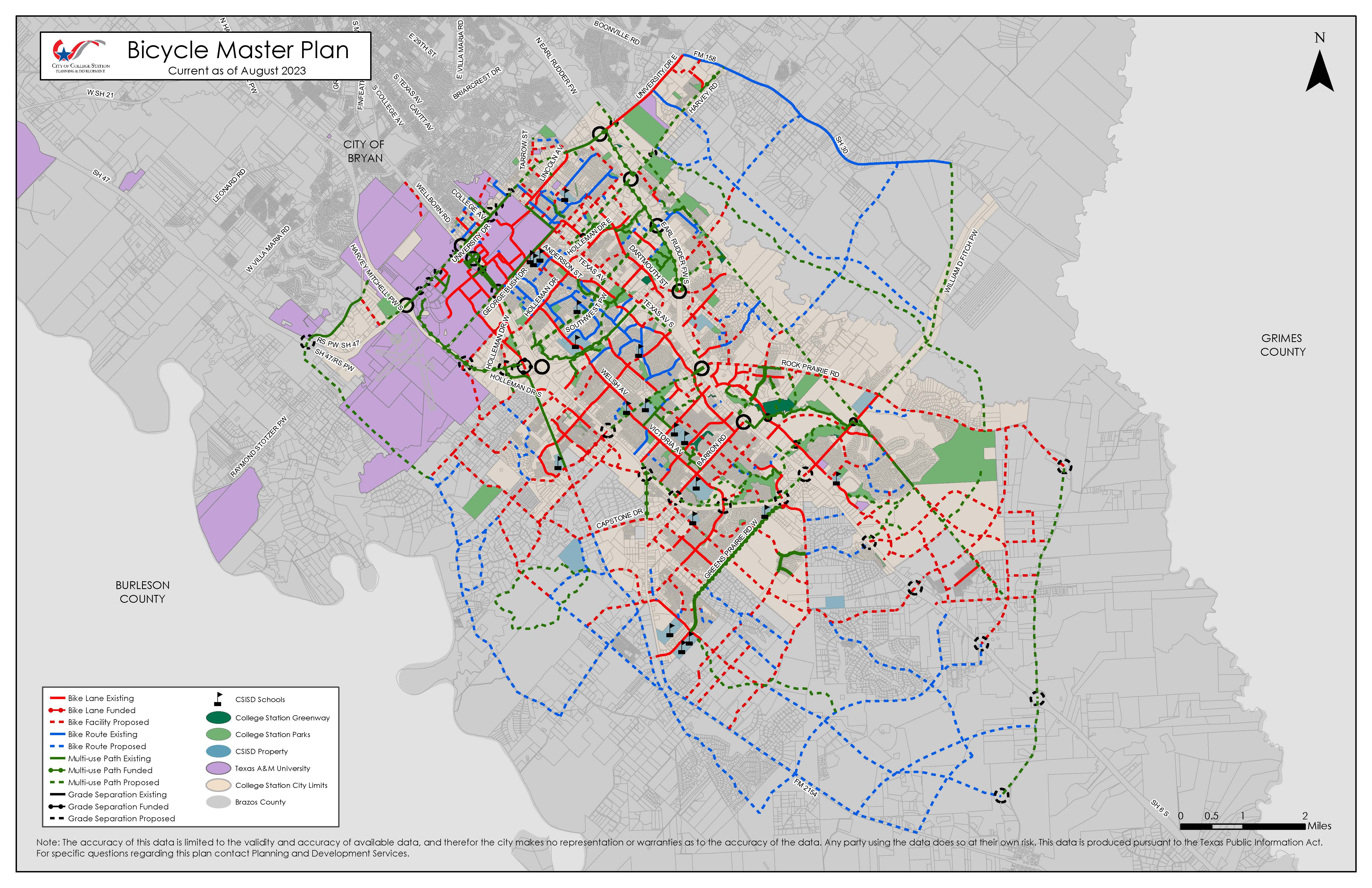
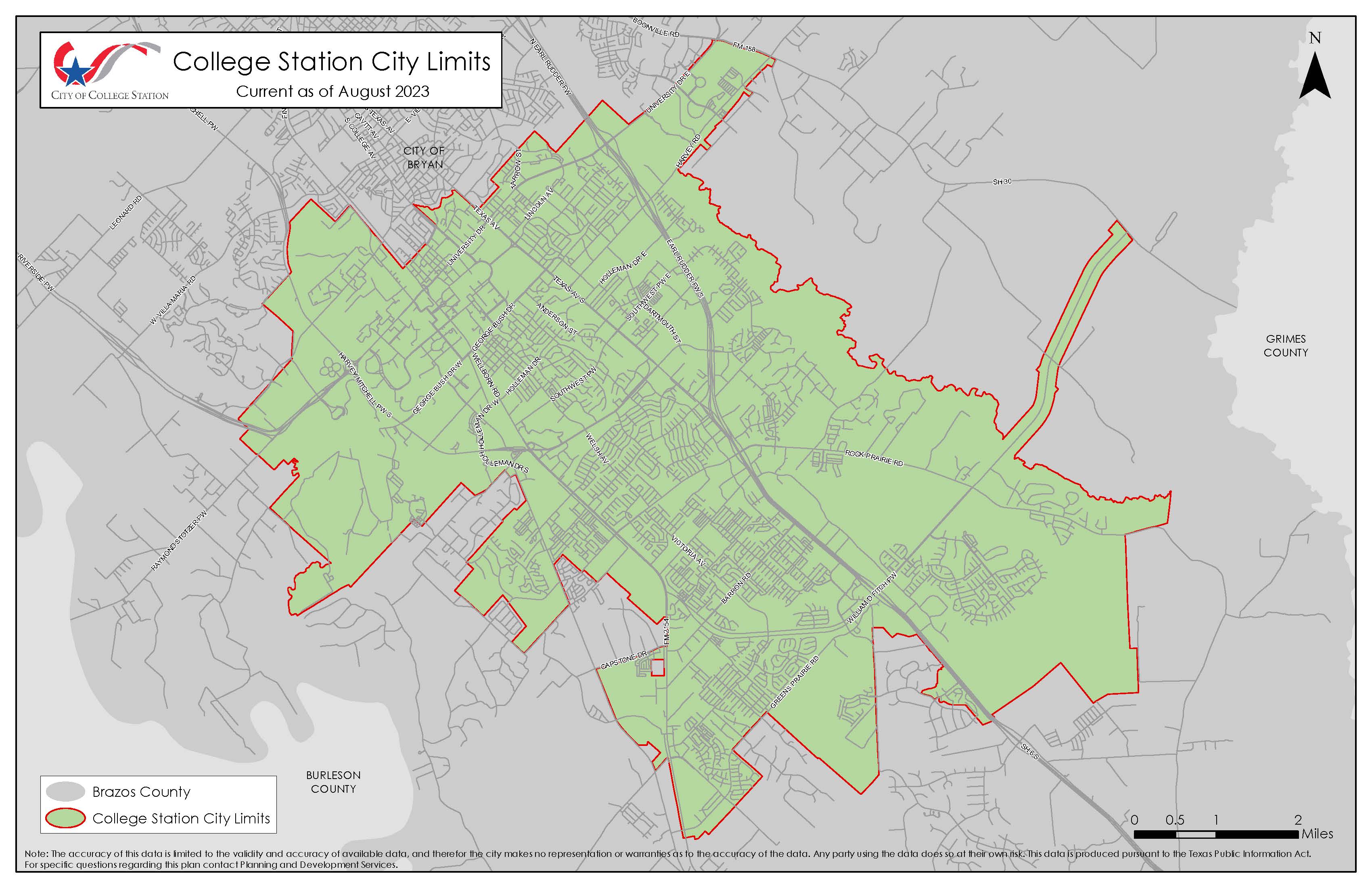
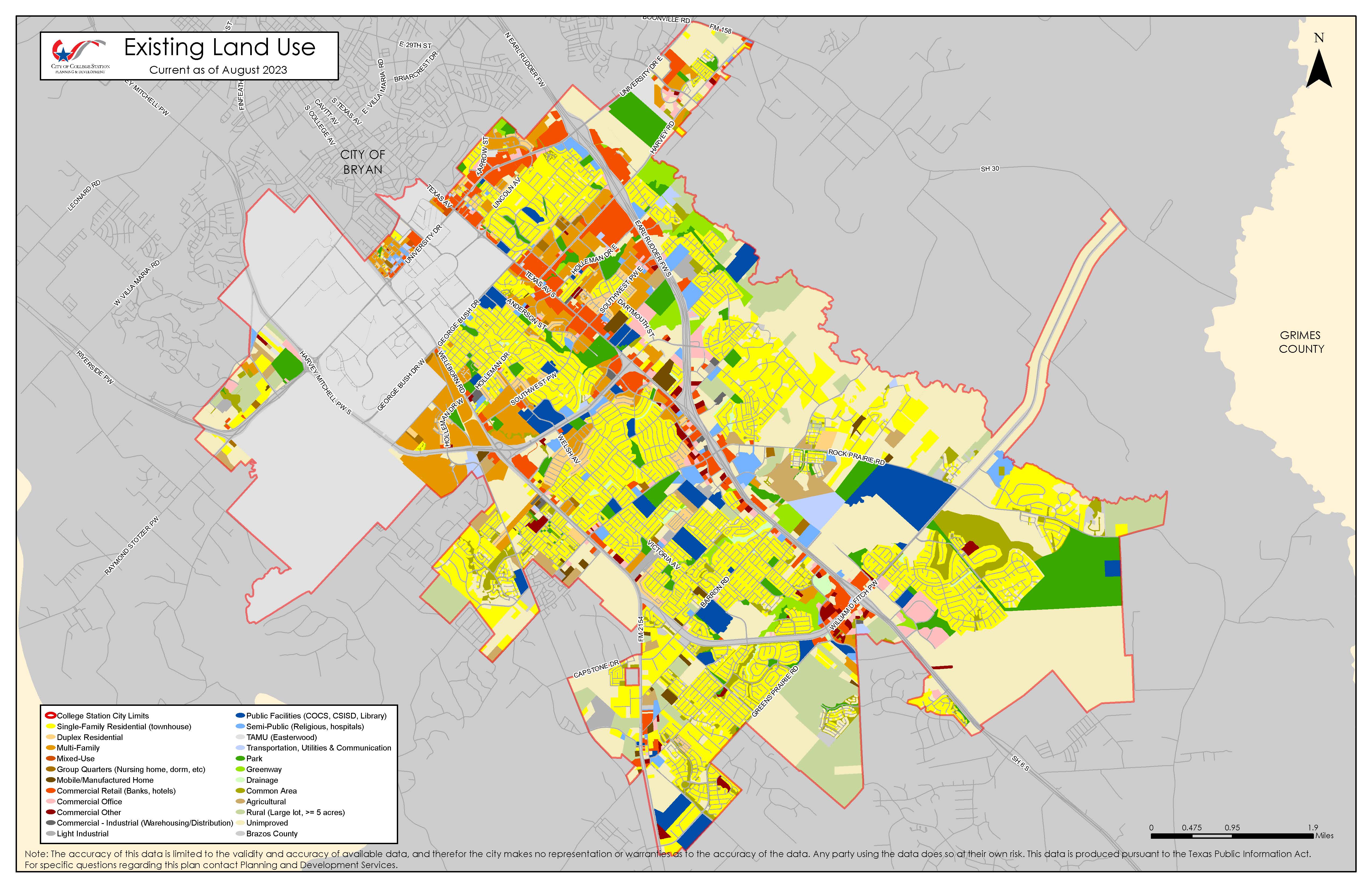
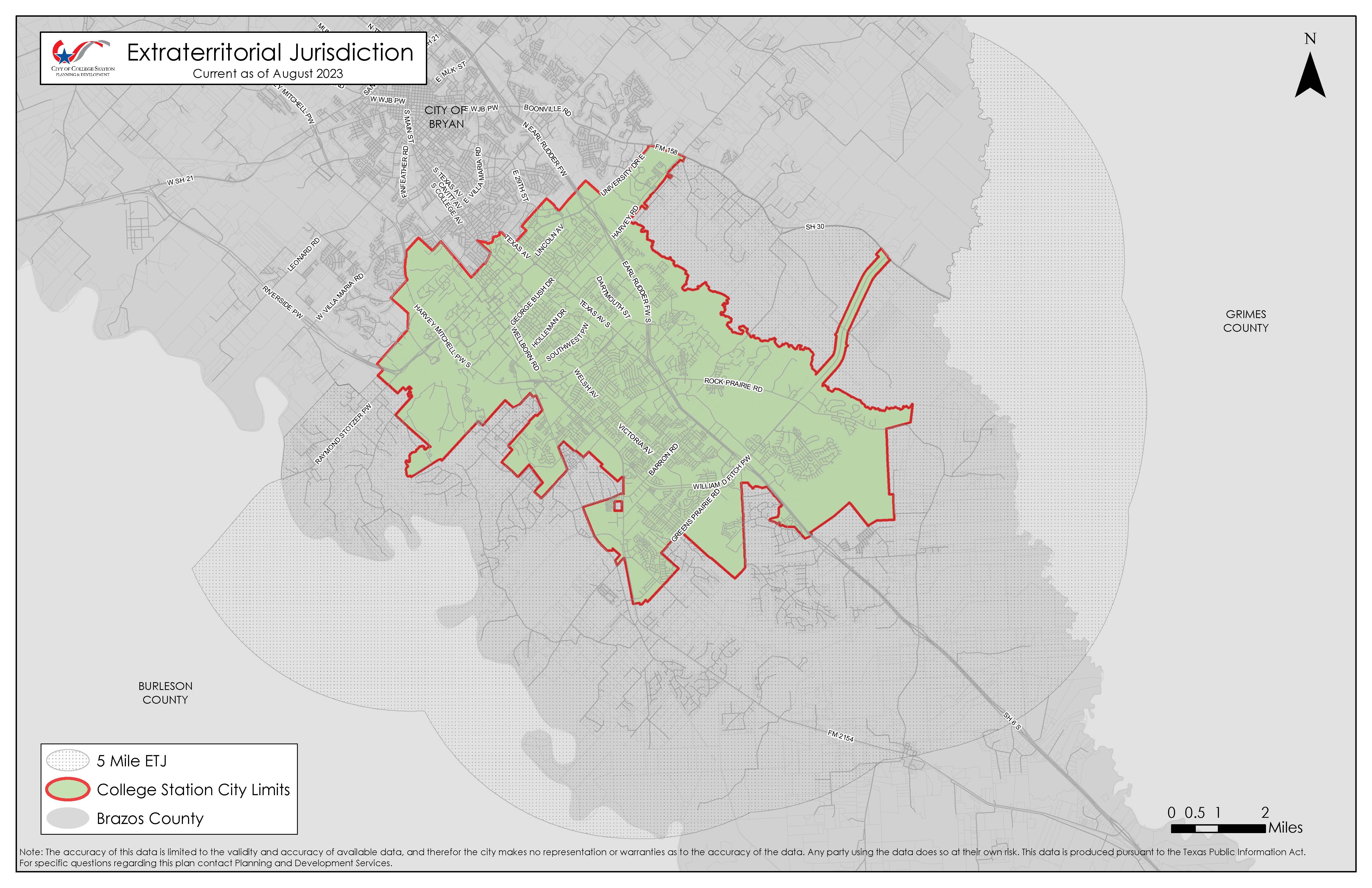
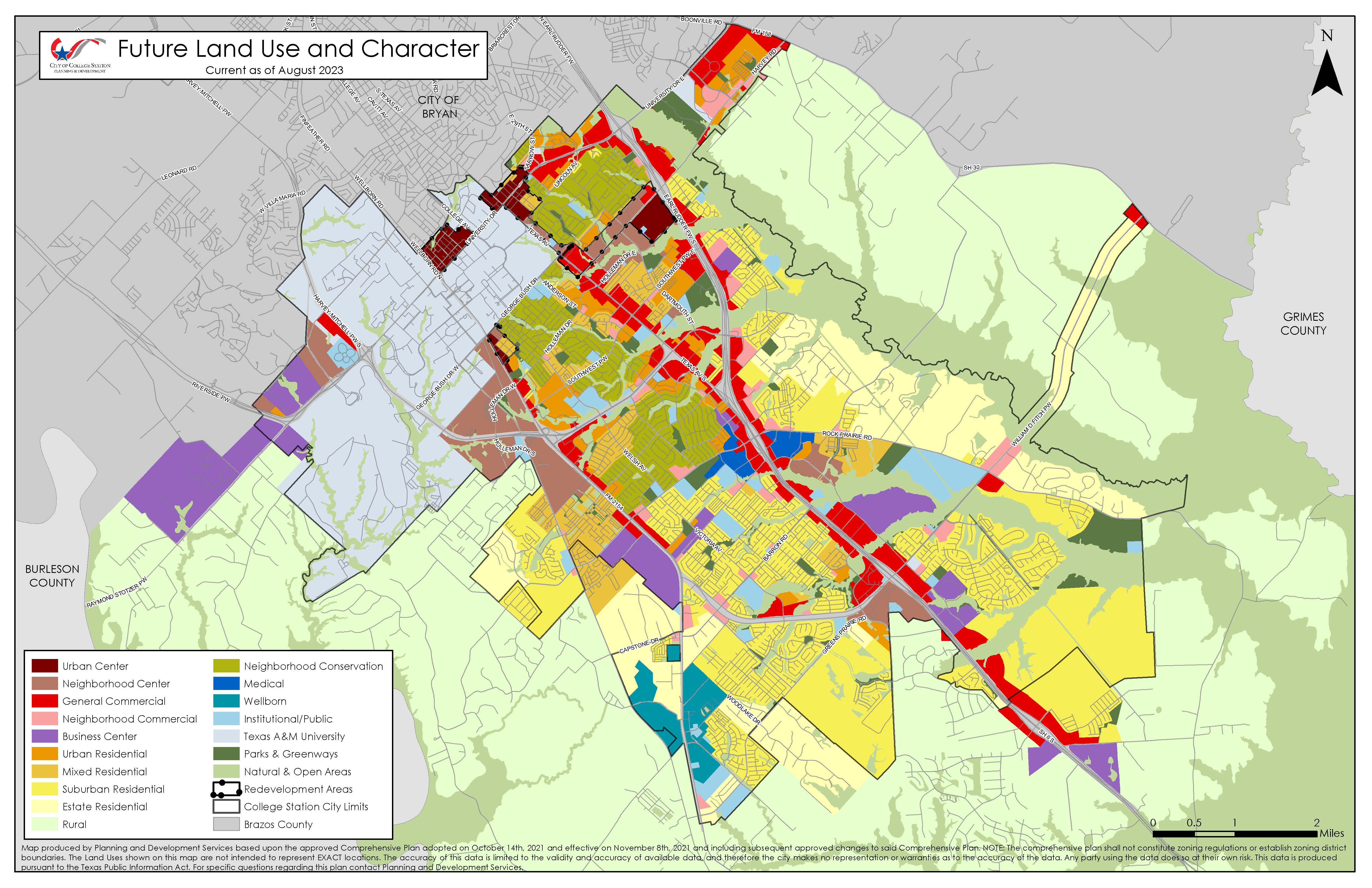
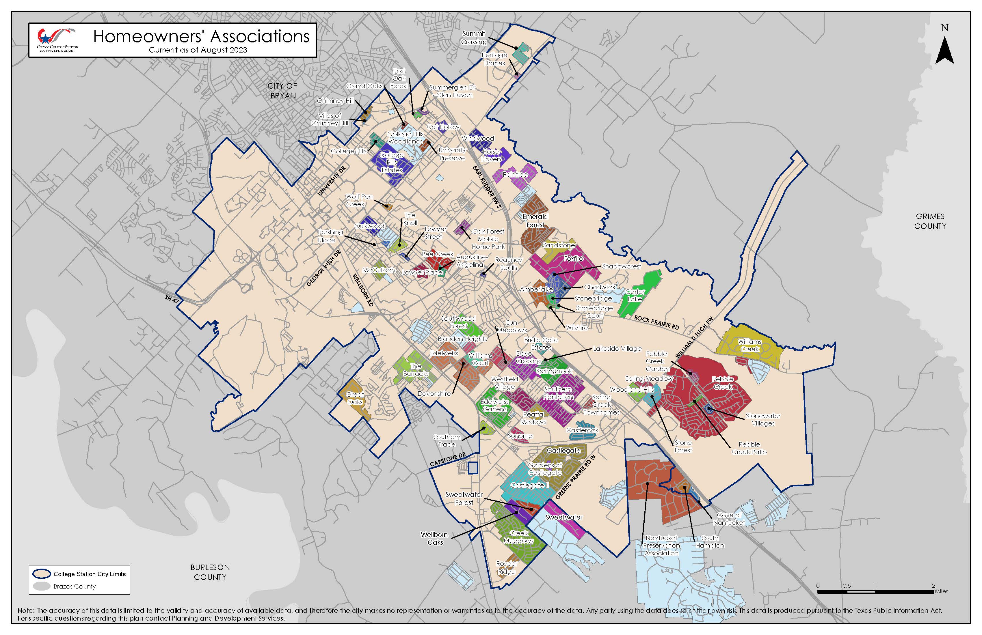
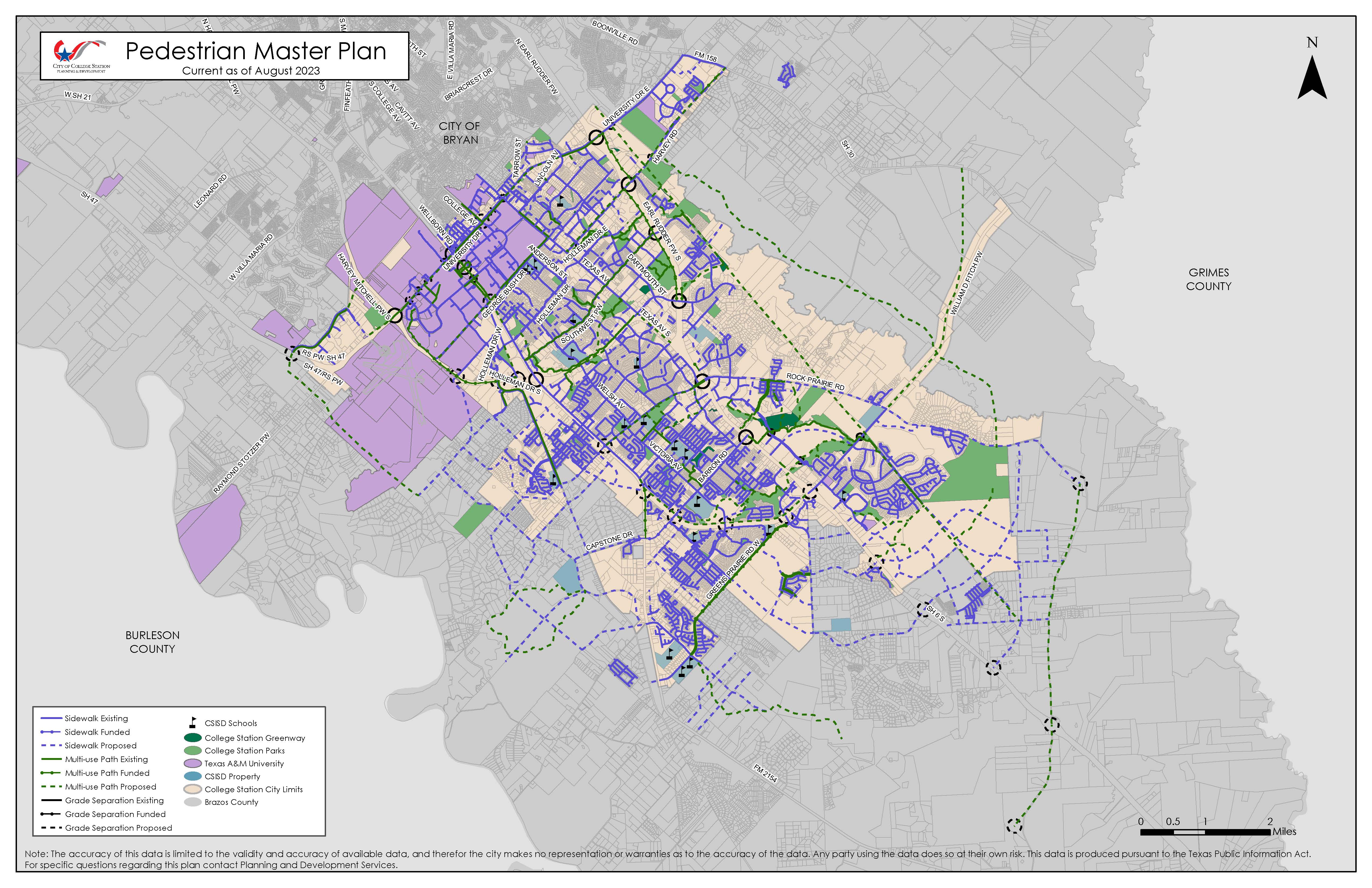
Printable maps have also been created and are available below for download. These static maps are updated every six months.
For general planning and development questions, please call 979.764.3570 or email cspds@cstx.gov.
The accuracy of this data is limited to the validity and accuracy of available data, and therefore the City makes no representation or warranties as to the accuracy of the data. Any party using the data does so at their own risk. This data is produced pursuant to the Texas Public Information Act.